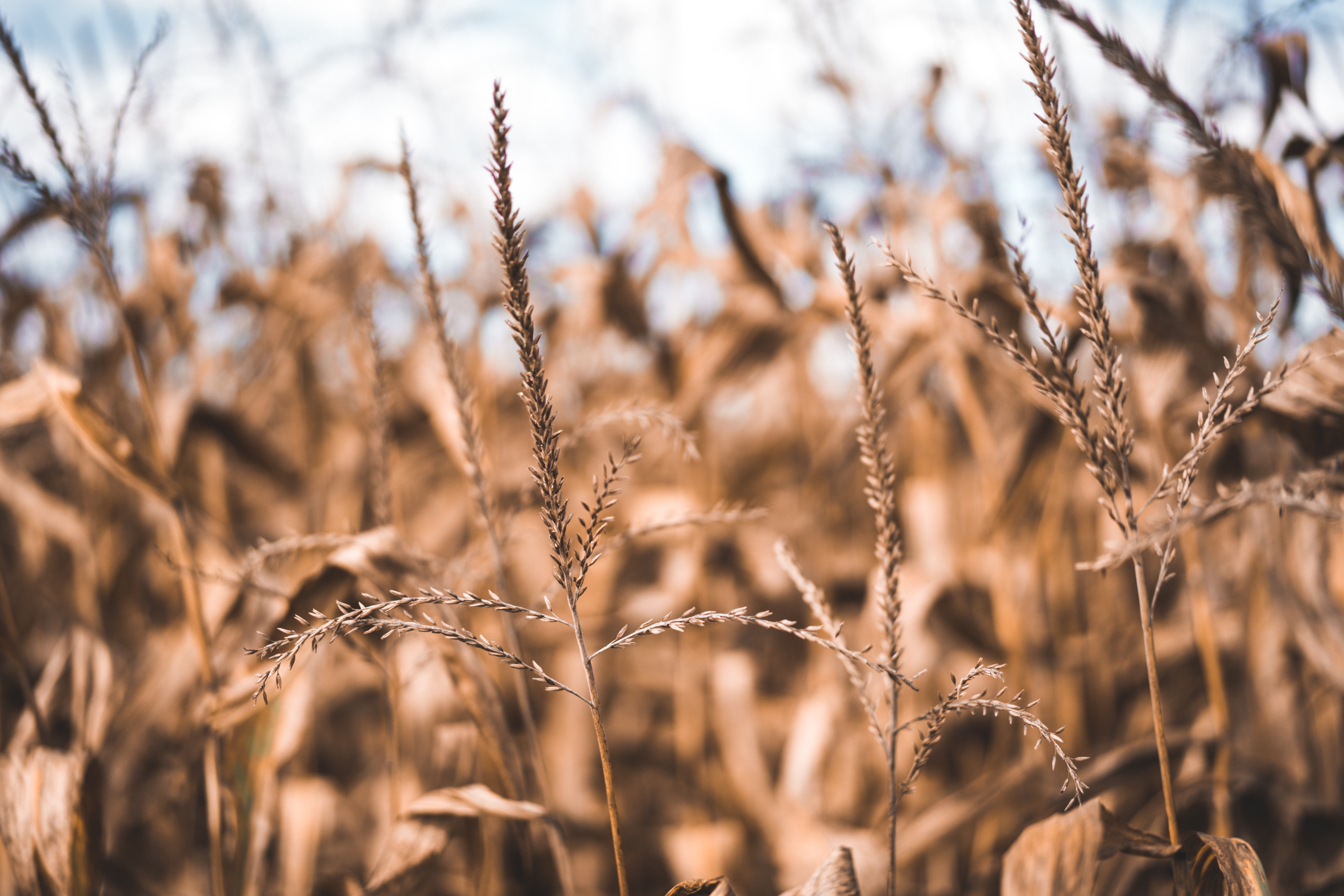
dry corn field

Detecting crop residue retention and cover crops in Central America’s dry corridor using satellite imagery

About

Climate change has changed rain patterns across Central America’s dry corridor, challenging conventional agriculture’s capacity to deliver a reliable stream of income for small landholders. A humanitarian crisis has followed, as living standards in the countryside deteriorated and families migrated by the thousand in search of improved livelihoods.

Catholic Relief Services (CRS) is working to address these challenges through the Water Smart Agriculture (WSA) program, a suite of sustainable agricultural practices that seek to increase agricultural resilience to a changing climate and restore degraded agricultural soils. To assess the impacts of CRS’s intervention at the landscape scale, there is need for a scalable, affordable method to monitor the adoption of WSA practices across large regions.
Approach

In this project, we are working with CRS to assess the potential for satellite imagery and machine learning methods to detect the adoption of two target WSA practices: crop residue retention and the use of cover crops. We are exploring the potential of different spectral indices (e.g. Enhanced Vegetation Index, Normalized Difference Moisture Index) to distinguish between plots where WSA practices are known to have been implemented from those where they are known to not have been implemented. If obtaining accurate predictions of WSA practices from satellite imagery is feasible, an affordable, scalable option for monitoring progress towards transforming small-holders agricultural practices in Central America’s Dry Corridor would be available for CRS and other organizations.

Partners

This work is being completed with support from the Catholic Relief Services.