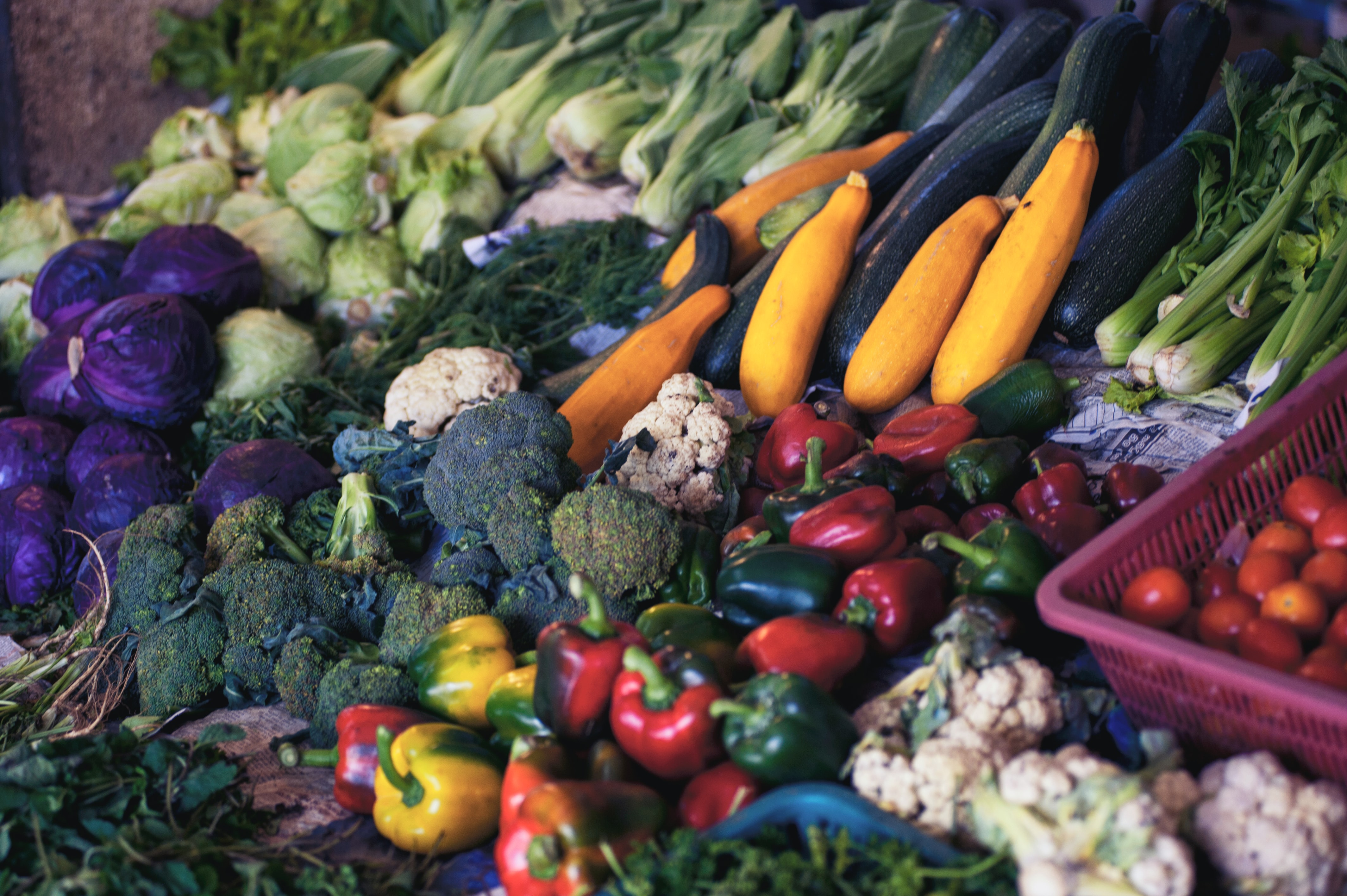
variety of vegetables at the grocery store

Predicting the effect of climate extremes on the food system to improve resilience of global and local food security

About

The number of food insecure people around the world is staggering: 2.4 billion people in 2020, an increase of 320 million since 2019 (UN, 2022). In 2022, a deadly combination of climate shocks, conflict, and the pandemic have pushed 50 million people to the edge of famine (WFP, 2022), highlighting the vulnerability of our global food system. Shocks to the food system are not isolated, and can cascade. For example, climate shocks are often correlated, simultaneously hitting production areas around the world and resulting in food price hikes that can lead some countries to impose export bans, driving global prices even higher. Fortunately, correlated climate shocks are increasingly predictable. Our ability to forecast extreme heat, drought, and heavy rains associated with sea surface temperatures has increased dramatically over the past two decades, affording us the potential to help farmers, ranchers, and governments undertake risk-mitigating measures before the weather events hit. Understanding the vulnerability of the global food system to predictable climate shocks is critical to allowing government agencies and aid groups to mitigate food crises and help communities build resiliency.
Approach

The aim of our research was twofold. First, we created predictive models that account for  interlinkages across food security drivers. This required a multidisciplinary convergence science  approach, bringing together climatologists, hydrologists, sociologists, agricultural economists,  statisticians, and policy experts to appropriately model correlated shocks and their connections through the food system. Second, to produce an actionable output, these models needed to be co-developed with stakeholders from the outset. Stakeholders guided model inputs, objectives, and scenarios, and helped design their output. We worked with decision-makers to co-produce models of the effects of climate shocks on local and global food production, trade, and prices, and enumerate the vulnerability of the households and regions to these shocks. By bringing together academics with consequential real-world decision-makers working on both international and domestic food security, this project helped identify drivers of hunger that are relevant in different settings within developing and developed countries. 

We combined science-driven statistical predictions of weather and its effect on food security with decision support frameworks to manage risk. The three critical innovations of our approach to creating actionable weather forecasts and empowering decision support science are (1) science-driven improvements in forecasting, (2) integration of novel data sources and models, and (3) culturally-embedded design and delivery of information at key decision points, structured in ways that are relevant for user decision-making. Together, these innovations could transform weather and climate data into usable information about future prices, rangeland productivity, and food insecurity and flood risk.

We partnered with three stakeholder groups that work with vulnerable populations exposed to frequent weather extremes: food banks in the Gulf Coast; USDA Climate Hubs in the Southwestern US; and county-level agro-meteorologists in Kenya. We developed three prototypes that combined weather and other information to predict outcomes of interest for these community partners, and then developed an app that combines this information in an accessible form for end-users.

Key findings

Our tailored approach led to the following insights for our key stakeholder groups:

  • To help food banks more accurately target food aid during extreme weather events, we developed detailed flood maps and models of how heavy rainfall, flooding, and food insecurity are connected, both spatially and through the economic effects of floods. 
  • To improve the livelihoods of ranchers and pastoralists and minimize economic risk, we began developing an application communicating the specific types of information that ranchers might need to make decisions during drought. 
  • To support improved drought and flood response in Kenya, we began to co-develop seasonal forecasts with the Kenya Meteorological Department, IGAD Climate Prediction and Applications Centre, and local county officials. These seasonal forecasts are more timely, at a finer spatial resolution, and linked with information on prices and pasture, which helps meet the needs of policymakers.

Through these case studies, we developed cross-cutting insights on predictive weather modeling: 

  • Key lessons from this research are summarized in a manuscript “Five lessons for closing the last mile: How to make climate decision support actionable”, published at Earth’s Future. The five lessons can be summarized as: (1) by foregrounding and integrating the needs of users from the very beginning of model development, i.e., in the first mile, models are more likely to deliver to last-mile users; (2) modelers need to balance uncertainty and timeliness of predictions to enable response; (3) models need to be transparent; (4) during the co-production process, modelers need to respect the capacity constraints of end users; and (5) modelers need to have a plan for what happens when they are wrong.
  • New insights in statistical analysis were also developed and will be shared in forthcoming manuscripts for long-term (e.g. one-year-ahead) forecasting of Normalized Difference Vegetation Index (NDVI) based on variables such as precipitation and vapor pressure deficit in history. As NDVI was found to be a crucial indicator for crop yield, understanding its dependence with other climate variables helps develop a reliable long-term forecast of NDVI that incorporates uncertainty, which is useful for food production and security.

Partners

Our research team spans disciplines including climate science, agricultural economics,  engineering, geography, hydrology, sociology and statistics. The team is led by Kathy Baylis (Professor & Vice Chair Geography, UCSB) and supported by a Co-PIs Kelly Caylor (Professor & Director of Earth Research Institute, UCSB), Chris Funk (Director of Climate Hazards Center, UCSB), Michael Hayes (Professor, School of Natural Resources, University of Nebraska), and Erin Lentz (Associate Professor, LBJ School of Public Policy, University of Texas). 

Our co-production partners include key stakeholders in both the United States and in Kenya. Our US based stakeholders include the Houston Food Bank, Group on Earth Observations Global Agricultural Monitoring Initiative (GeoGlam), and the FEWS NET. Our Kenya-based stakeholders include the FAO and International Livestock Research Institute (IRLI).

This work is funded by The National Science Foundation’s Convergence Accelerator.