About
Making data-driven decisions is essential for any organization and especially critical for government-led initiatives. However, in low- and middle-income countries like Togo, access to accurate, up-to-date data can be limited, hindering the government's ability to respond effectively to the needs of its citizens. This project addresses a key challenge: how to generate and then use high-quality, localized data to inform public policy in Togo. The lack of data became apparent in 2020 when the Government of Togo wanted to identify specific households most in need of financial relief during the COVID-19 pandemic in order to provide small cash transfers, but had little information and date to guide their decision. Motivated to find a solution, the Ministry began exploring the use of satellite imagery to enhance its decision-making capabilities.
In that search, the Ministry discovered MOSAIKS (Multi-Task Observation Using SAtellites Imagery and Kitchen Sinks) — a powerful, open-source tool that transforms raw satellite imagery into actionable data. Developed in part by emLab Research Associate and UC Berkeley professor Tamma Carleton, MOSAIKS can predict a wide range of environmental, economic, and social outcomes within minutes, even on a standard laptop. It offers unprecedented potential for monitoring conditions such as poverty, housing, agriculture, and infrastructure across large geographic areas, making it particularly well-suited for countries with limited on the ground data collection.
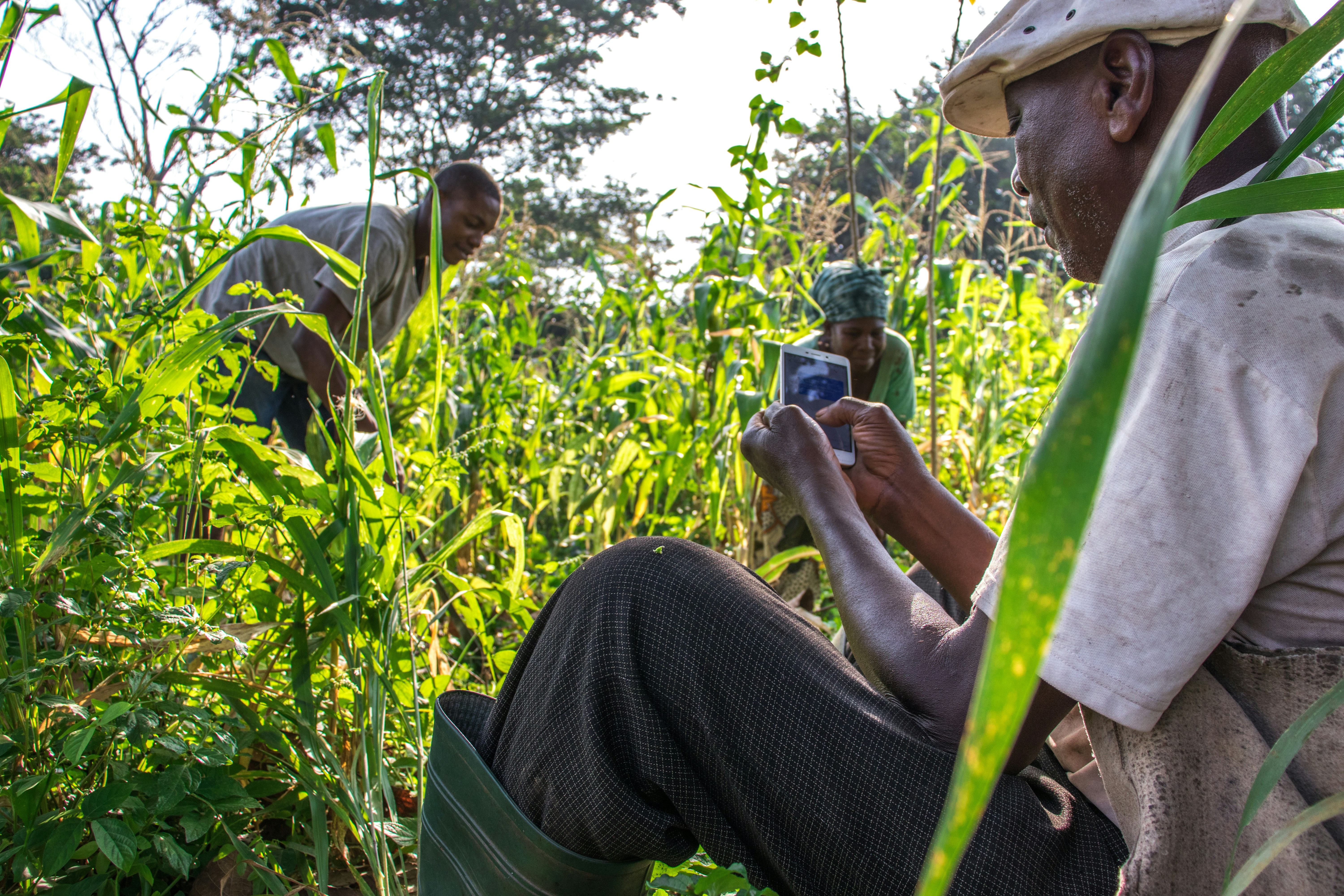
To harness this potential, the Ministry of Digital Economy and Digital Transformation launched a new Data Lab. This Data Lab is designed to support the rapid adoption of data science tools, like MOSAIKS, across government agencies. With a strong focus on local ownership and capacity building, the Data Lab works closely with policymakers to apply satellite imagery and machine learning to pressing policy issues. Several priority use cases for MOSAIKS have already been identified, with the goal of addressing real-world challenges and delivering sustainable social impact. These use cases include working with the Department of Agriculture looking at land use, crop yields and soil fertility. In the future, they may be able to use geospatial data to assess how weather will affect the nation’s crop yields or, more ambitiously, predict bad harvests well before they devastate rural communities. Through this partnership and innovation-driven approach, Togo is positioning itself as a leader in using modern data tools to design more effective, inclusive, and data-driven public services.