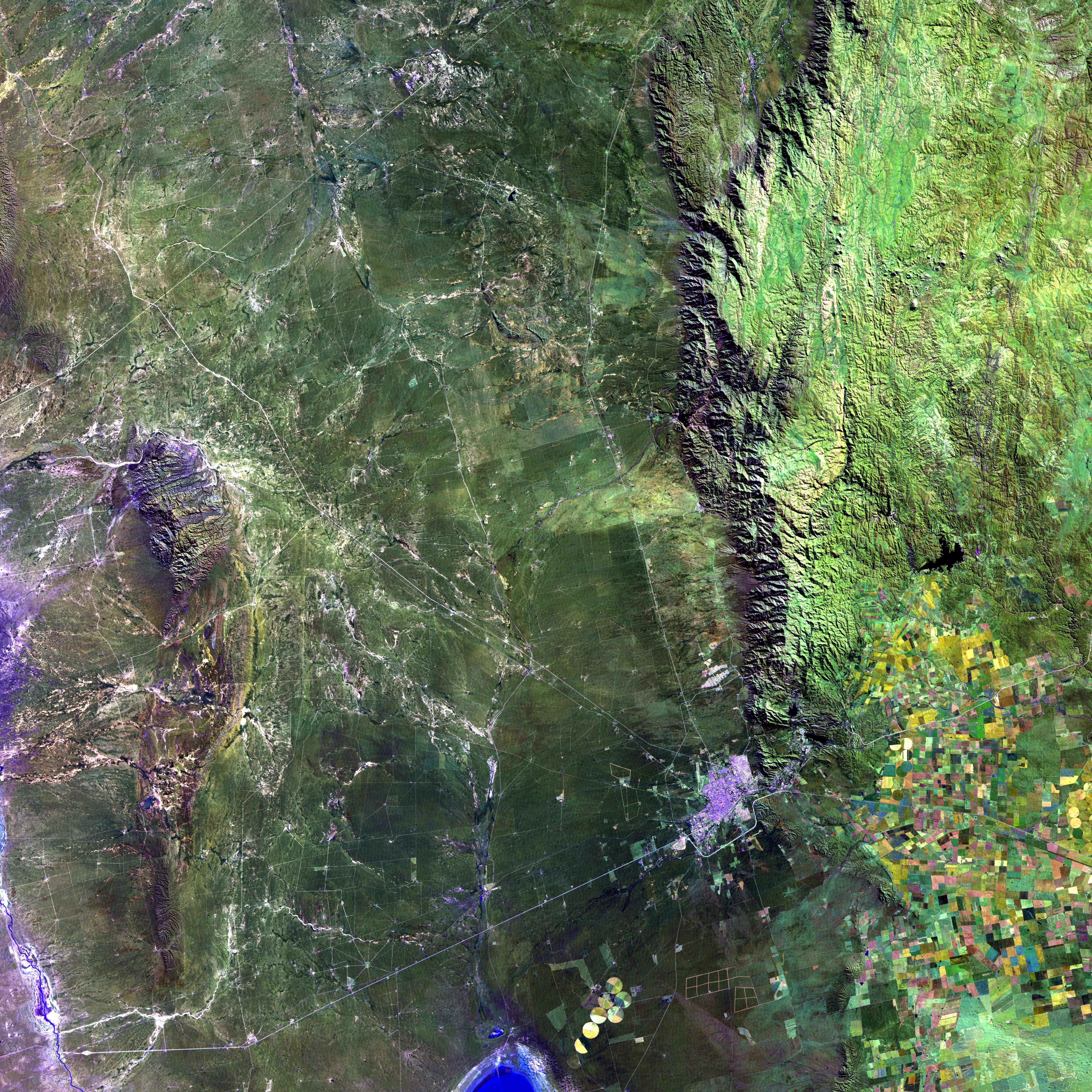
aerial satellite image of town, cropland, and mountains

Integrating remote sensing to measure the impacts of natural climate solutions

About

Evaluating the effectiveness of natural climate solutions (NCS) and other conservation interventions requires measuring the resulting impacts (e.g. the change in forest cover or land use caused by an intervention). However, collecting these types of measures through field work, such as surveys or on-the-ground observation, is very costly and often inappropriate for the time and spatial scale needed for conservation impacts. This poses a challenge for rigorous evaluation of NCS, which is crucial for informing policy around their scale-up. Without high quality measures of conservation outcomes, impact evaluation is impossible, and without adequate impact evaluation, it is difficult to know what conservation interventions and natural climate solutions work, in what contexts, and why, leaving the conservation community with the risk of spending money on projects that may fail to achieve their intended outcomes.

New satellite technology and rapid advances in both the measurement and processing of remotely sensed outcomes have lowered costs and improved the quality of outcome measures. However, further work is necessary to integrate technological progress with the needs of the impact evaluation community. Through this project, we aim to combine existing randomized controlled trials (RCTs) testing NCS interventions with measurements of outcomes from remote sensing to deliver methodological insights and toolkits that will advance the methods of measuring impacts from NCS. Ultimately, increased use of remotely sensed data for impact evaluation has the potential to lower the cost and increase the use of rigorous evaluation methods by the conservation community, a step essential for ensuring that interventions yield intended outcomes.
Approach

This project will result in the development of comprehensive guidelines on how to design RCTs to support the integration of remote sensing data, including issues related to sampling, randomization and the collection of geospatial data. We will use the following approach to develop, test, and disseminate these guidelines:

  1. Use existing randomized control trial (RCT) case studies to develop and refine design principles to align the evaluation goals with the opportunities and limitations presented by remotely sensed data sources.
    • These case studies will span different categories of NCS outcomes, such as agricultural production and soil carbon, and stubble burning, and will help refine the necessary considerations for the designer of an RCT. 
  2. Collaboratively develop guidelines based on these case studies on how to integrate remote sensing approaches into RCTs and pilot the guidelines in a new RCT to evaluate socio-economic, conservation and/or mitigation outcomes.
    • Through this iterative development phase, we will identify and test how the design of RCTs and the analysis of impacts must adapt to the limitations of remotely sensed outcome measures.
  3. Publicly disseminate the guidelines and deploy them in new and existing RCTs to evaluate new environmental outcomes and identify additional applications for scaling.

Partners

This project is in collaboration with Conservation International (CI) as part of the Arnhold UC Santa Barbara-Conservation International Climate Solutions Collaborative. UCSB and CI launched this initiative through generous support from John Arnold (UCSB '75) to unify their demonstrated expertise and networks to conduct cutting-edge applied research to yield tangible, progressive solutions and propel the careers of emerging environmental professionals.