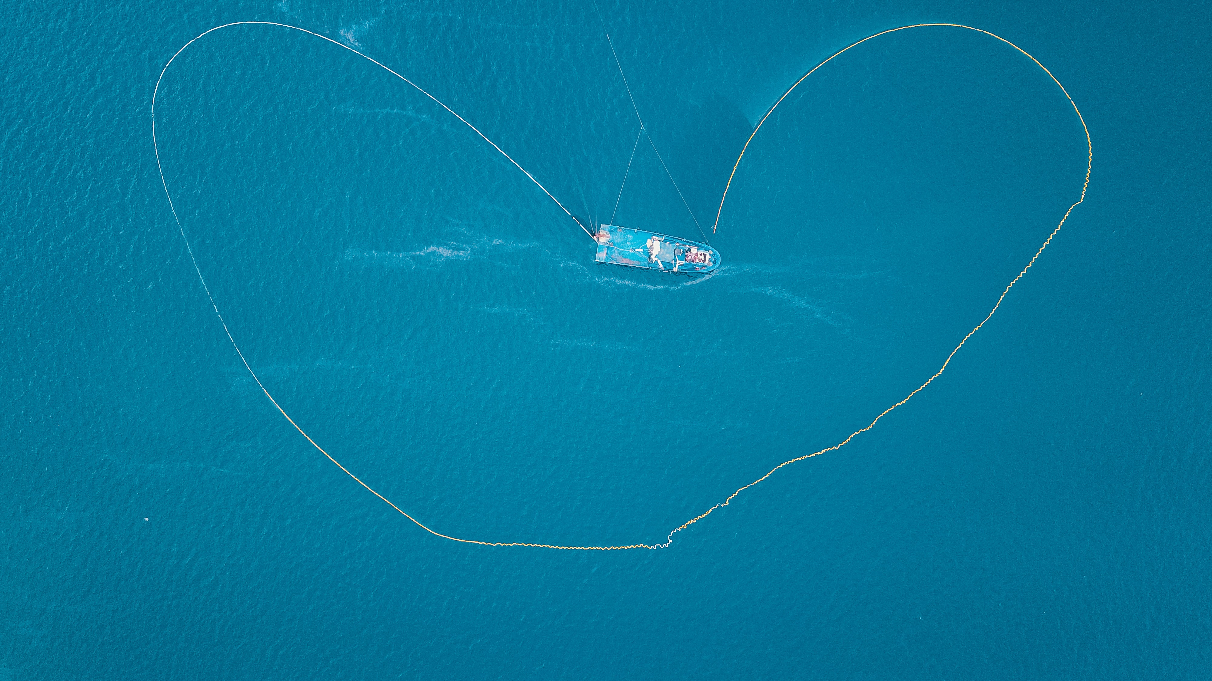
aerial of purse seine boat

Uncovering “dark” illegal fishing in marine protected areas

About

Marine protected areas (MPAs) around the world have been established to safeguard important marine species and habitats. MPAs vary in their level of protection, and some MPAs partially allow or do not allow fishing within their borders. However, some illegal fishing still occurs in MPAs with fishing restrictions, and MPA enforcement agencies are tasked with finding and catching these illegal fishers. It can be difficult to see where, when, and how much fishing takes place in MPAs for a variety of reasons: fishers can turn off their tracking signals when entering the protected areas, countries differ in the tracking technologies they require vessels to have on board, and smaller vessels can more easily slip in under the radar. In response, Global Fishing Watch is developing new analyses of satellite synthetic aperture radar (SAR) and optical imagery that will track previously-undetectable fishing vessels. In this project, emLab researchers are working with Global Fishing Watch and Pristine Seas to develop and use these new analyses to more accurately estimate how much fishing activity occurs in MPAs around the world.  
Approach

The first phase of this project focuses on quantifying global fishing effort using remotely sensed data. With data analyst support from emLab, Global Fishing Watch is developing a global dataset of fishing vessel detections using satellite synthetic aperture radar (Sentinel-1) and optical imagery (Sentinel-2). We are building a machine learning model that predicts whether the detected vessels are actively fishing. This dataset will be the most complete picture of global fishing distribution ever available. 

The second phase of this project focuses on quantifying illegal fishing activity in MPAs. Using the data above, we will show where, when and how much illegal fishing activity occurs in MPAs around the world. If possible, we will also examine why some MPAs are more effectively enforced than others. 

Key findings

In a Nature paper with Global Fishing Watch, we find that 75% of the world’s industrial fishing vessels are hidden from public view. Using machine learning and satellite imagery, our collaborative team created a global map of large vessel traffic and offshore infrastructure on a scale never done before. We developed three deep-learning neural networks to identify objects within the dataset, and classified them as infrastructure, fishing vessels or non-fishing vessels. This study could mark the beginning of a new era in ocean management and transparency, and can be used to better inform estimates of greenhouse gas emissions and global fishing trends. 

Partners

This work is in collaboration with Jennifer Raynor, assistant professor at the University of Wisconsin Madison, along with Global Fishing Watch and The National Geographic Society’s Pristine Seas project.  

Satellite mapping reveals extensive industrial activity at sea

A groundbreaking study, led by Global Fishing Watch and published in Nature, uses machine learning and satellite imagery to create the first global map of large-vessel traffic and offshore infrastructure, finding a remarkable amount of activity that was previously “dark” to public monitoring systems.

David Kroodsma, director of research and innovation at Global Fishing Watch and co-lead author of the paper, gives an overview of this innovative work.