sand dredging

Watching Sand: Mapping the global footprint of marine sand dredging

About

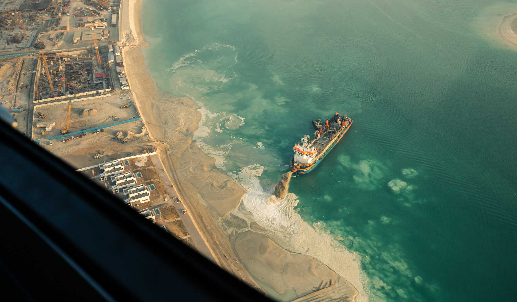
Sand extraction is one of the most understudied global challenges of the 21st century. Over the past two decades, the global demand for sand has tripled, reaching a staggering 50 billion metric tons annually, making it the second most traded natural resource worldwide. These sand dredging activities can place an enormous burden on coastal and marine ecosystems through physical disturbances like erosion, sedimentation, and habitat destruction. While sand is crucial for both ecosystem function and human development, existing studies have focused on specific regions and have not provided a comprehensive analysis of the true scale and impact of sand dredging and extraction. In this project, we are assessing the footprint of marine sand dredging and mining on a global scale and estimating quantities of sand being removed to identify potential hot spots of mining activity. By mapping the global footprint of ocean sand dredging, we can bring much-needed visibility to its effects, enabling more informed decision-making and greater accountability.

Approach

We are working to develop the world’s first comprehensive map of marine sand dredging and sand mining as the first step towards understanding the magnitude and nature of the conservation threat it may pose. To do so, we are first detailing all environmental externalities caused by marine sand dredging to ensure the dredging database we develop is able to measure these impacts. We are then developing models to identify dredgers and what activity they are undertaking (e.g. dredging, transiting) for what purpose (e.g. land reclamation, maintenance). This capability to identify global dredging and mining activity allows us to produce a detailed global map of dredging intensity, revealing hotspots of sediment extraction, offshore dumping, land discharge, and key sand trade hubs worldwide. This map is a necessary first step in characterizing the full scope and scale of marine sand extraction, which can then inform the design and focus of future conservation efforts. These maps of marine dredging activity and underlying data will be made publicly available and hosted on Global Fishing Watch’s platform. 

Partners

This project is a collaboration with Global Fishing Watch and the United Nations Environment Programme. 

Photo credit: Richard Schneider